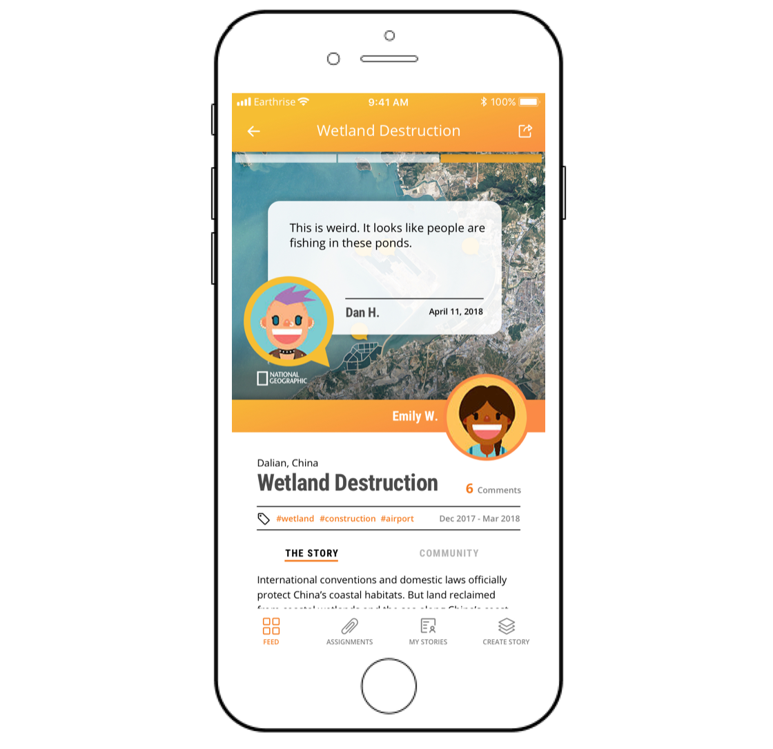
Our platform uses collaborative mapping and satellite imagery to support real-world investigations.
We are looking for students, educators, and investigators.
Satellite imagery and collaborative mapping to track changes on the Earth's surface.
We leverage the half trillion dollars of historical investment in Earth Observation for educational content that is aligned with current standards.
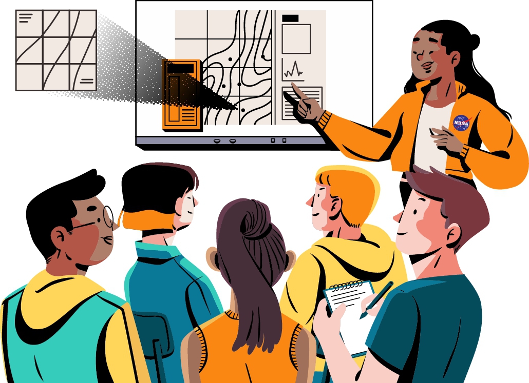
The world we know is changing.
Classroom content should change at the same rate.
Students can now measure those changes from space.
We enable project-based learning in the natural and social sciences using mapping technology designed specifically for young learners in grades 7-12.
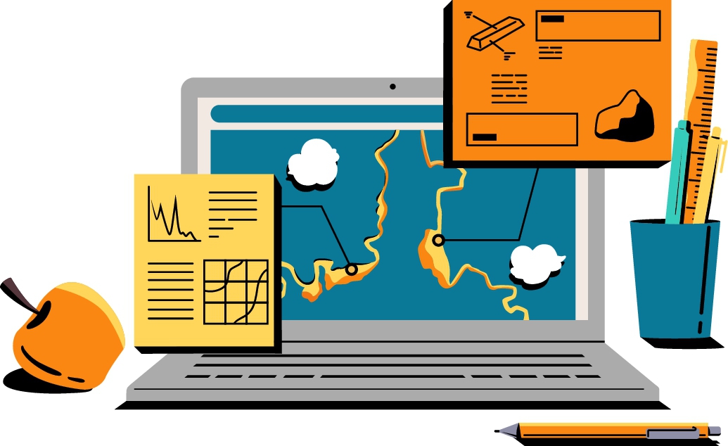
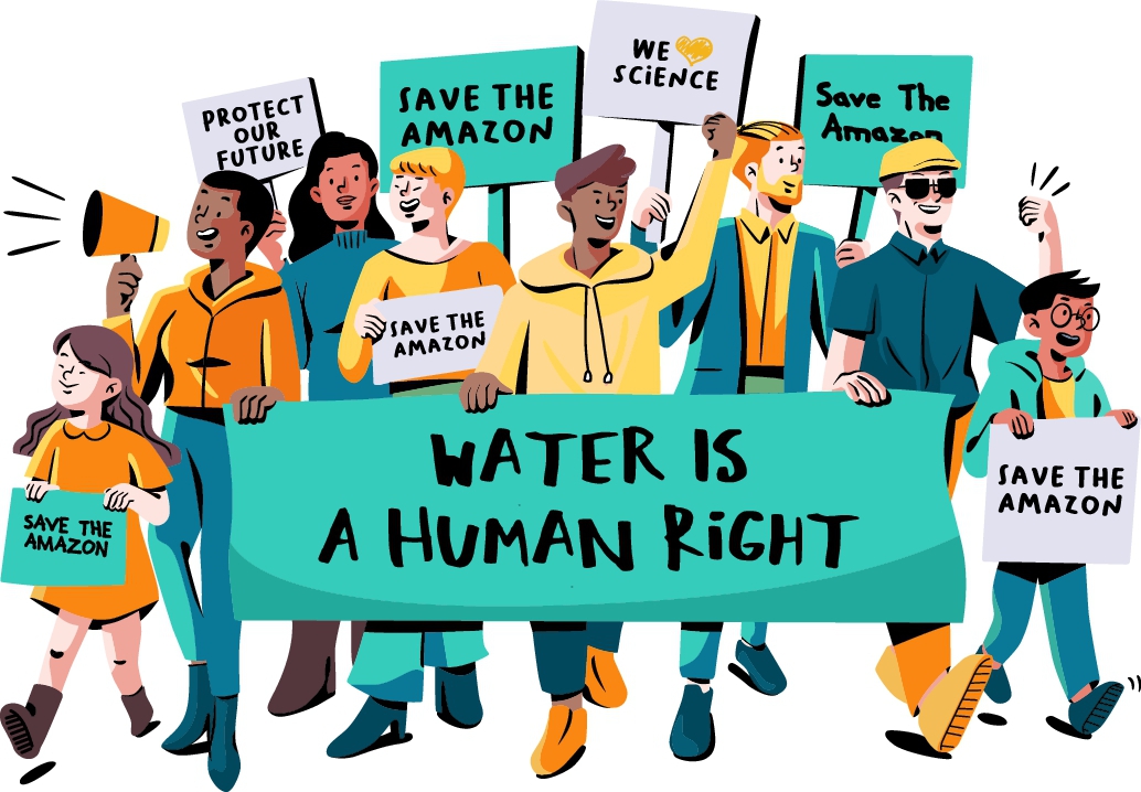
Connecting classrooms to real-world events.
Providing valuable information to scientists, activists, and journalists — people who need real-time information to support local change.
Authentic
The unique features of satellite imagery allow for engaging, interactive and truthful content.
Engaging
We provide students project-based, collaborative and interactive lessons that are accessible through the browser.
Relevant
Investigations are based on breaking news that can be seen from space, helping teachers make connections to important current events.
Standards Aligned
Our content is designed to meet both national and state standards, and is flexible enough to support local curriculum.
Inclusive
Our investigations span the world, covering diverse topics, with both local and global significance.
Influencer-led
All our investigations start with real-world problems, initiated by real-life problem solvers, in the field.
